
27th Session of the OSS Strategic Orientation Committee, Tunis, January 28, 2025
Held on January 28, 2025 in Tunis, the 27th session of the Strategic Orientation…
Author: OSS
Published in: 2015
Project:
Theme: land management
Type: Atlas
ISBN: 978-9973-856-93-7
Country:
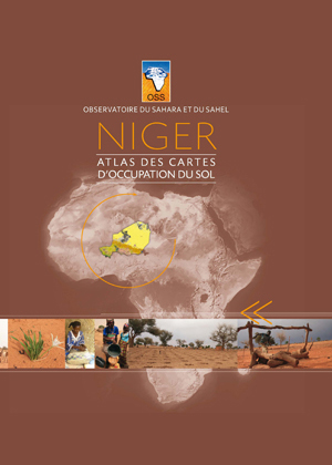
Niger | Land Cover Maps Atlas
The atlas presents the Niger land cover map, produced under the "Improving the resilience of Sahelian populations to environmental changes - REPSAHEL" project, for the sustainable development of natural resources.
1/200,000 maps produced from satellite images (2013-2014) have been integrated in this work.
This book is part of other map atlases released under the REPSAHEL project for seven Sahelian countries (Burkina Faso, Mali, Mauritania, Niger, Nigeria, Senegal and Chad). It will contribute to improving knowledge of the natural resources in these countries and their evolution to help decision-making on the programs, projects and adaptation actions to be implemented.
This atlas is also the product of the OSS/National Center for Ecological and Environmental Monitoring - CNSEE.
All data and thematic maps used, have been integrated in the information system of the REPSAHEL project.
Held on January 28, 2025 in Tunis, the 27th session of the Strategic Orientation…

The participation of the Sahara and Sahel…

OSS Side Event at COP16: Strengthening Resilience in the Sahel through Multi-…