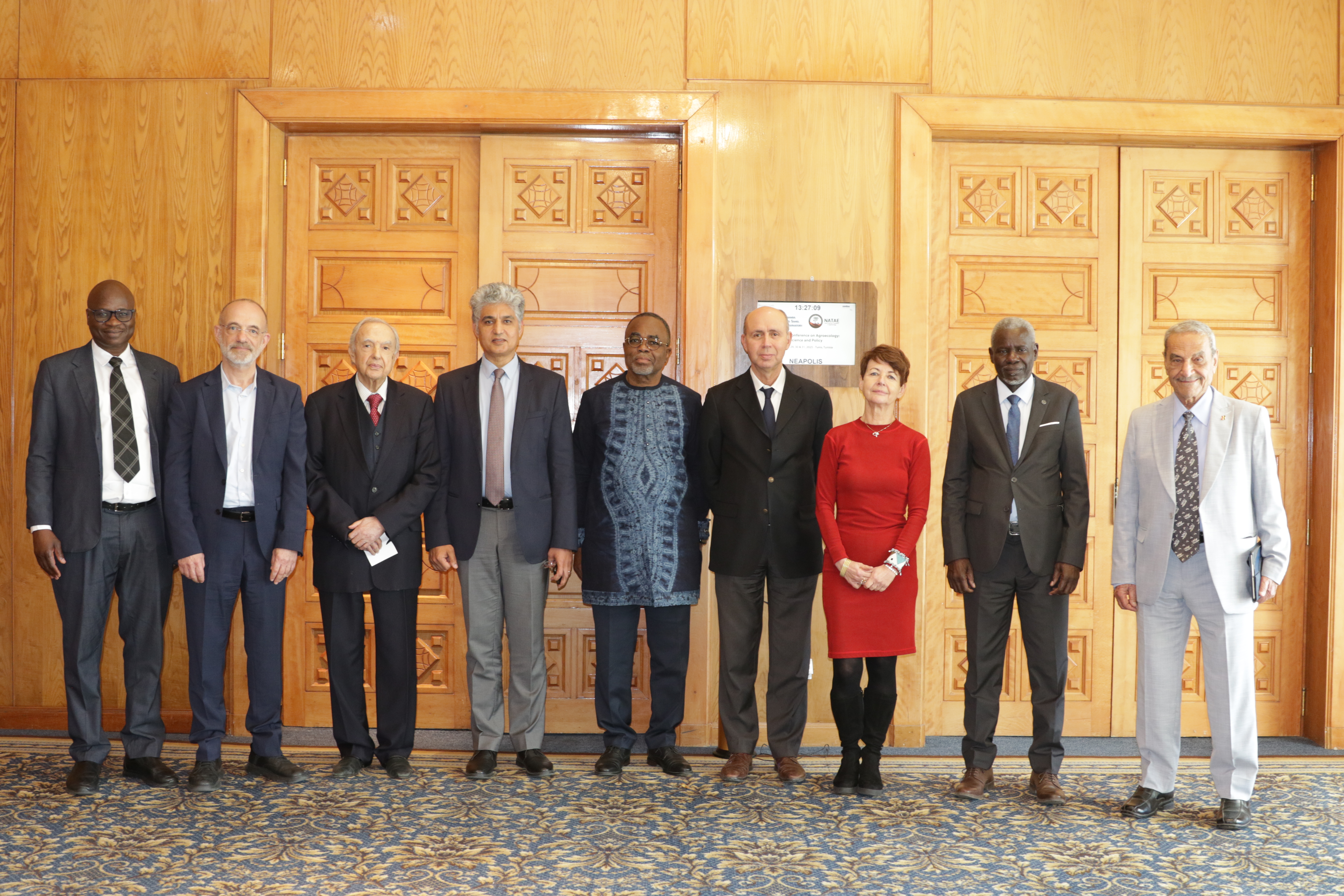
27th Session of the OSS Strategic Orientation Committee, Tunis, January 28, 2025
Held on January 28, 2025 in Tunis, the 27th session of the Strategic Orientation…
Author: OSS
Published in: 2004
Project:
Theme: Water resources management
Type: Studies and reports
ISBN: 9773-856-01-5
Country:
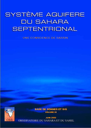
North-Western Sahara Aquifer System : Data Base and GIS, volume III
"Serving as a driving and facilitating force, OSS, in carrying out the SASS Programme, relies first and foremost on the expertise available in specialised, well experienced institutions of the three countries as well as on broad international partnership.
The North-Western Sahara Aquifer System, (NWSAS), shared by Algeria, Tunisia and Libya, has considerable water reserves that cannot be totally exploited and are only very partially renewed. The NWSAS area over a million km2 and is composed of two major aquifers layers, the Continental Intercalary and the Terminal Complex. Over the last thirty years, abstraction by drilling has risen from 0.6 to 2.5 billion m3/yr. This rate of abstraction involves many risks: strong impact on neighbouring countries, salinisation, elimination of artesianism, drying up of outlets, etc. Simulations on the NWSAS Model have enabled OSS to pinpoint the location of the most vulnerable areas and map the risks facing the aquifer system. The three countries concerned by the future of the NWSAS will need to work together to develop a joint management system for the basin. A consultation mechanism needs to be instituted and gradually put into operation.
The present report relates to the ""Data Base & Geographic Information System"". It summarizes the various reports drafted for the phases of this action. It is composed of two main parts:
the first part presents the architecture of this data base and of the software products made during the project ;
the second part gives a detailed description of the data collected, both by the national teams of the countries and by the permanent SASS team."
Held on January 28, 2025 in Tunis, the 27th session of the Strategic Orientation…
The participation of the Sahara and Sahel…
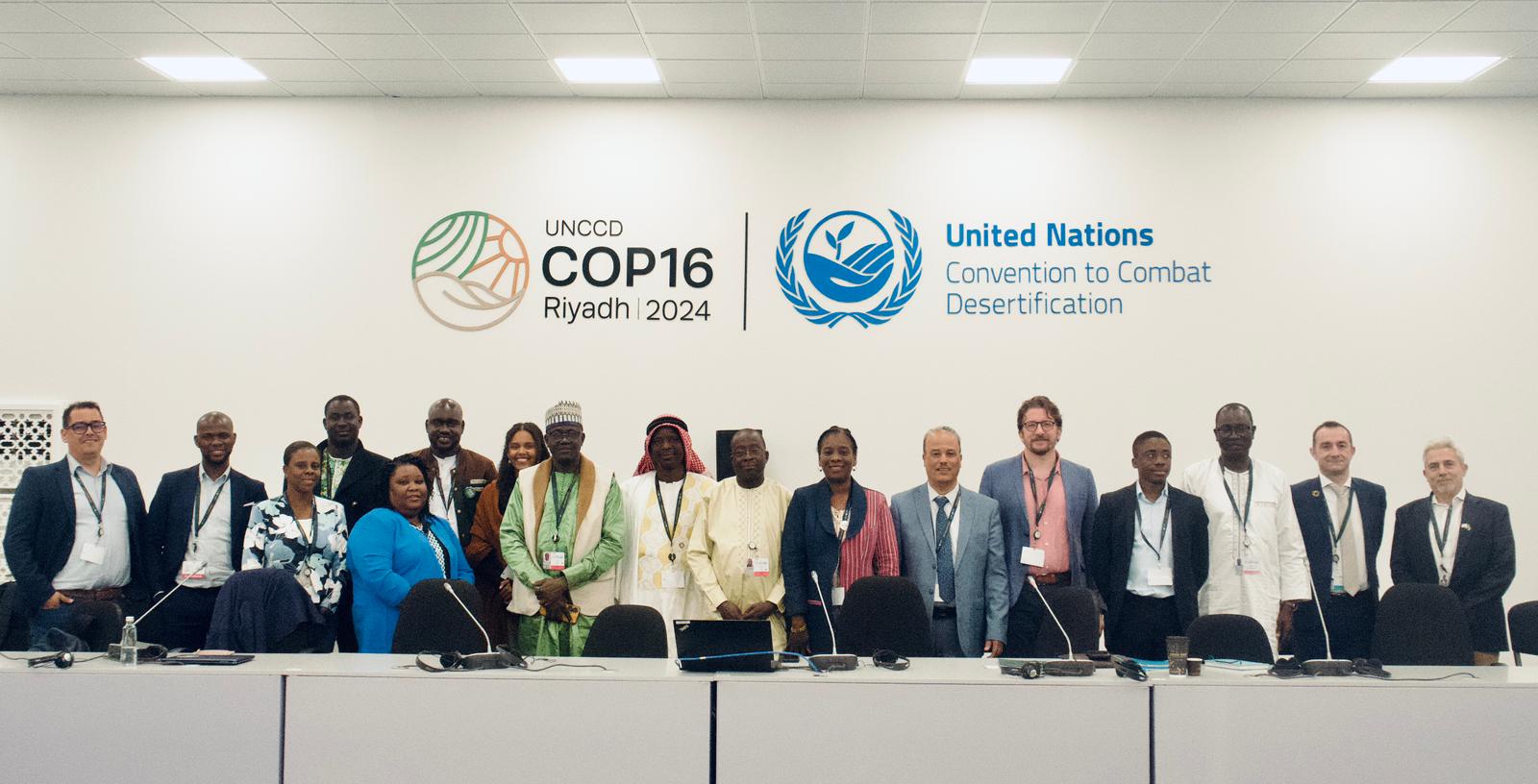
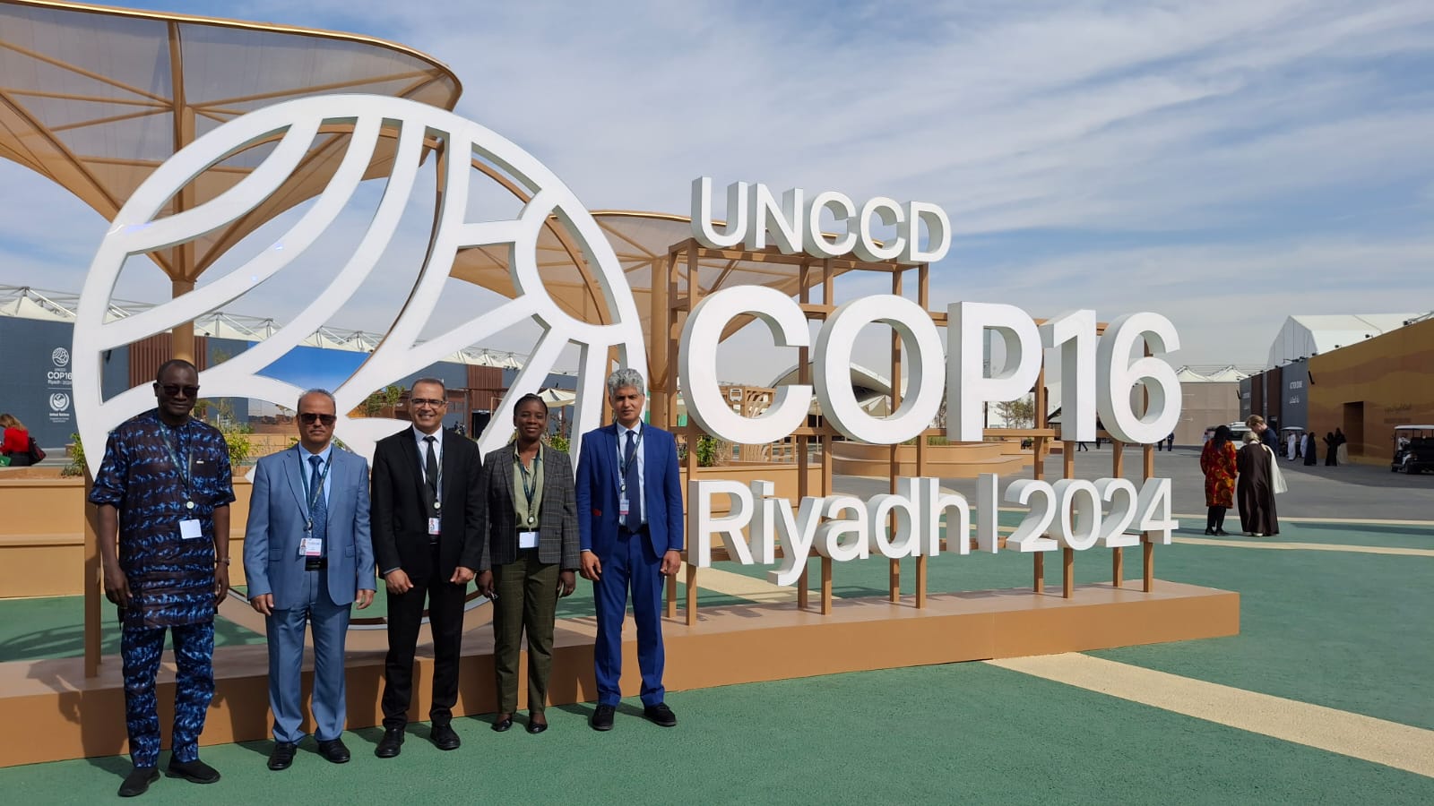
OSS Side Event at COP16: Strengthening Resilience in the Sahel through Multi-…