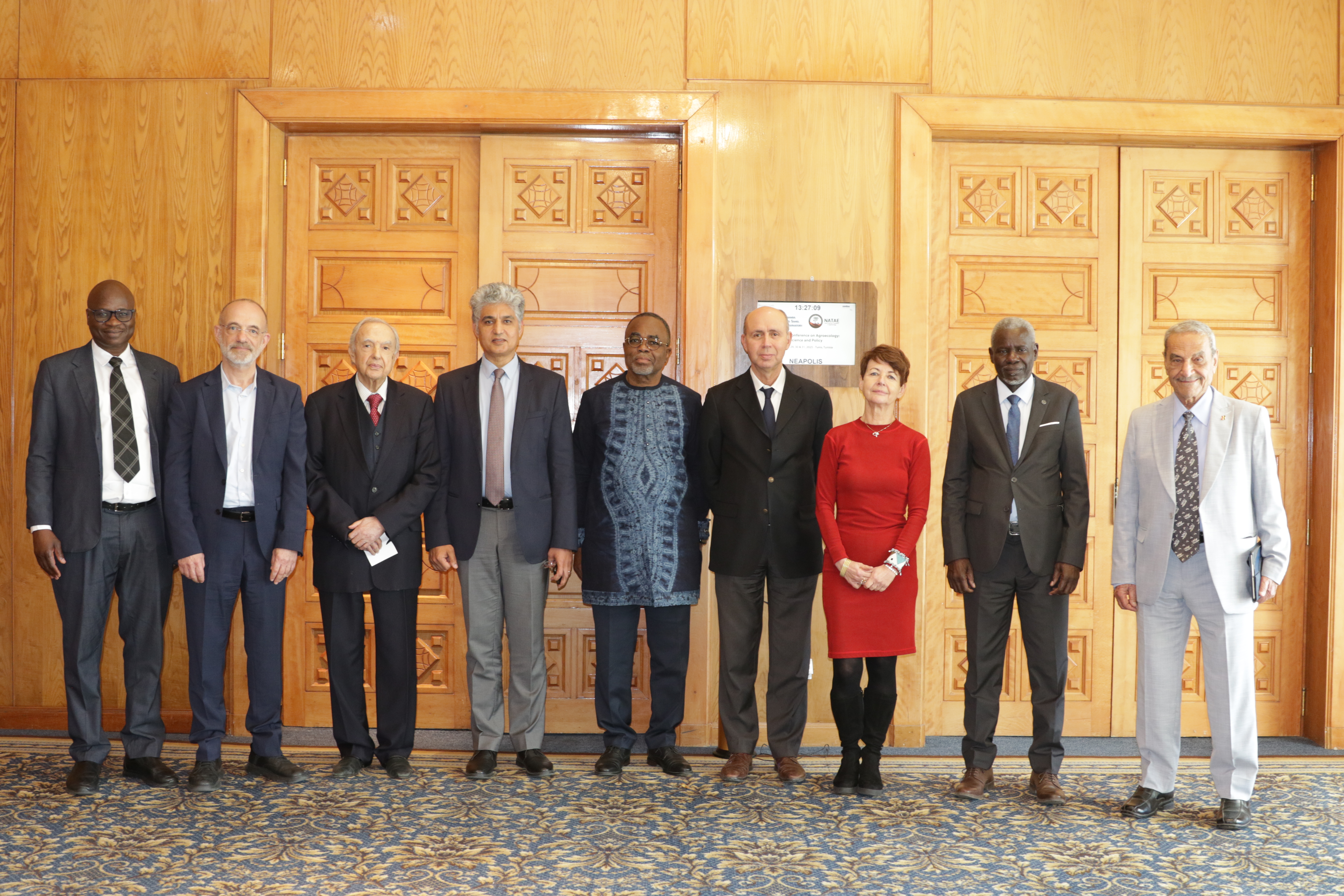
27th Session of the OSS Strategic Orientation Committee, Tunis, January 28, 2025
Held on January 28, 2025 in Tunis, the 27th session of the Strategic Orientation…
Online | 6 August 2026
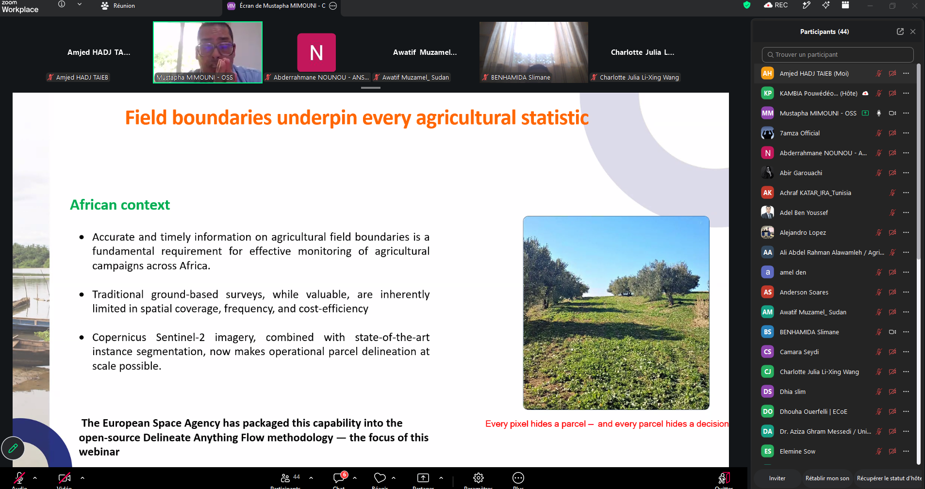
Access to accurate and up-to-date information on agricultural parcel boundaries is essential for monitoring cropping seasons, improving agricultural statistics and supporting decision-making. In Africa, however, the diversity of agricultural landscapes, the vast areas to be covered and the cost of field surveys make this task particularly challenging.
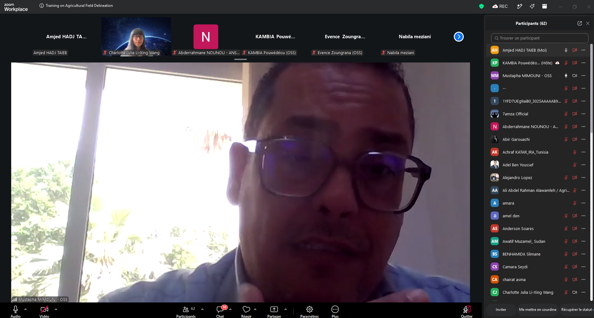
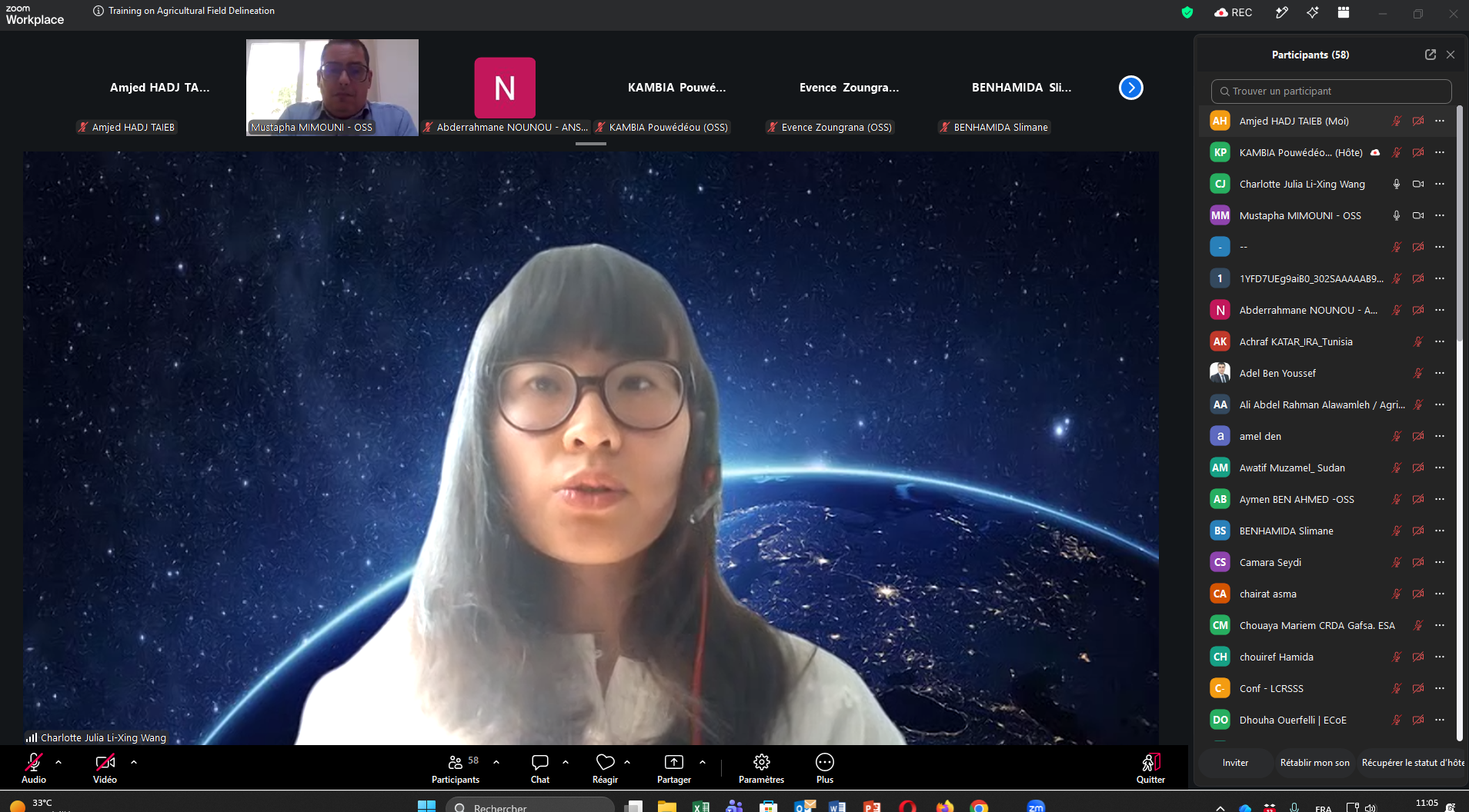
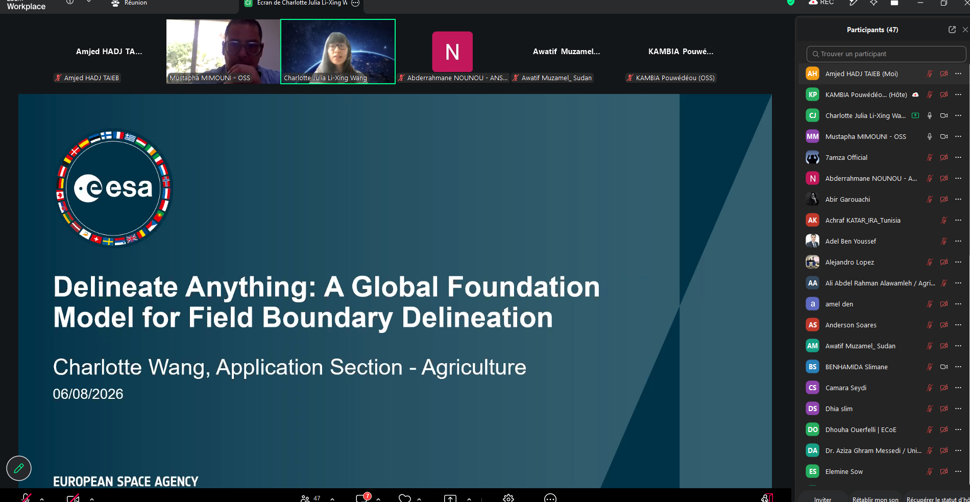
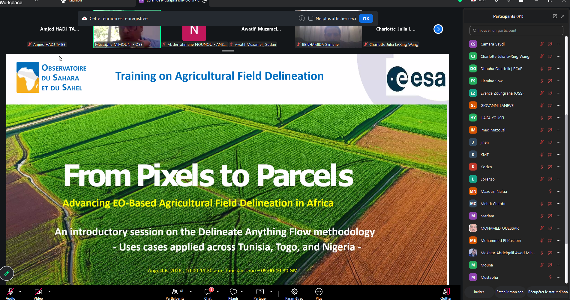
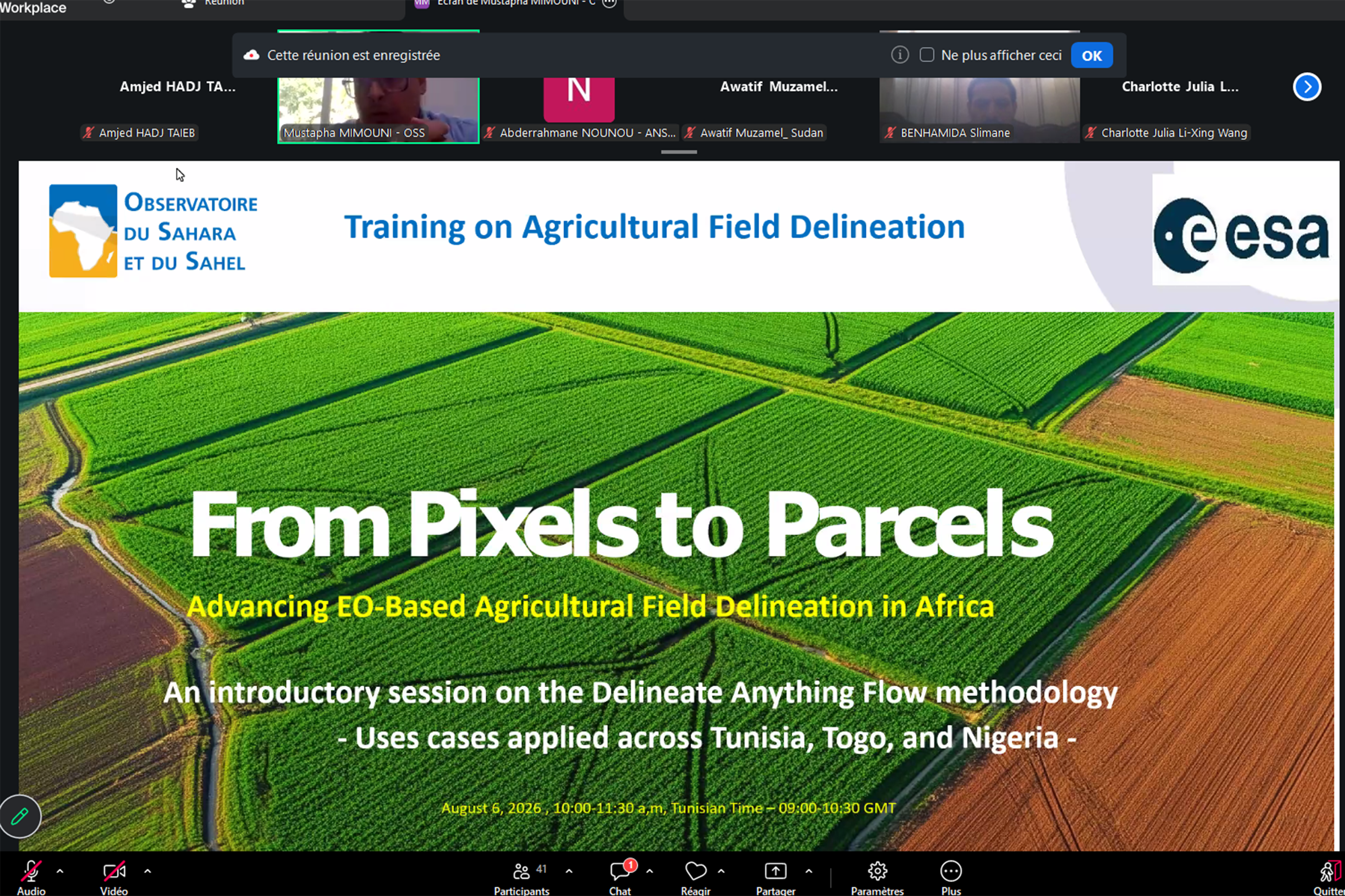
To explore the new opportunities offered by artificial intelligence and Earth Observation in this field, the Sahara and Sahel Observatory (the OSS), in partnership with the European Space Agency (ESA), organized a training webinar dedicated to the “Delineate Anything Flow” method.
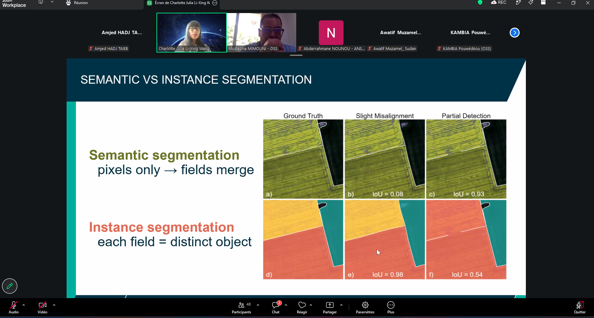
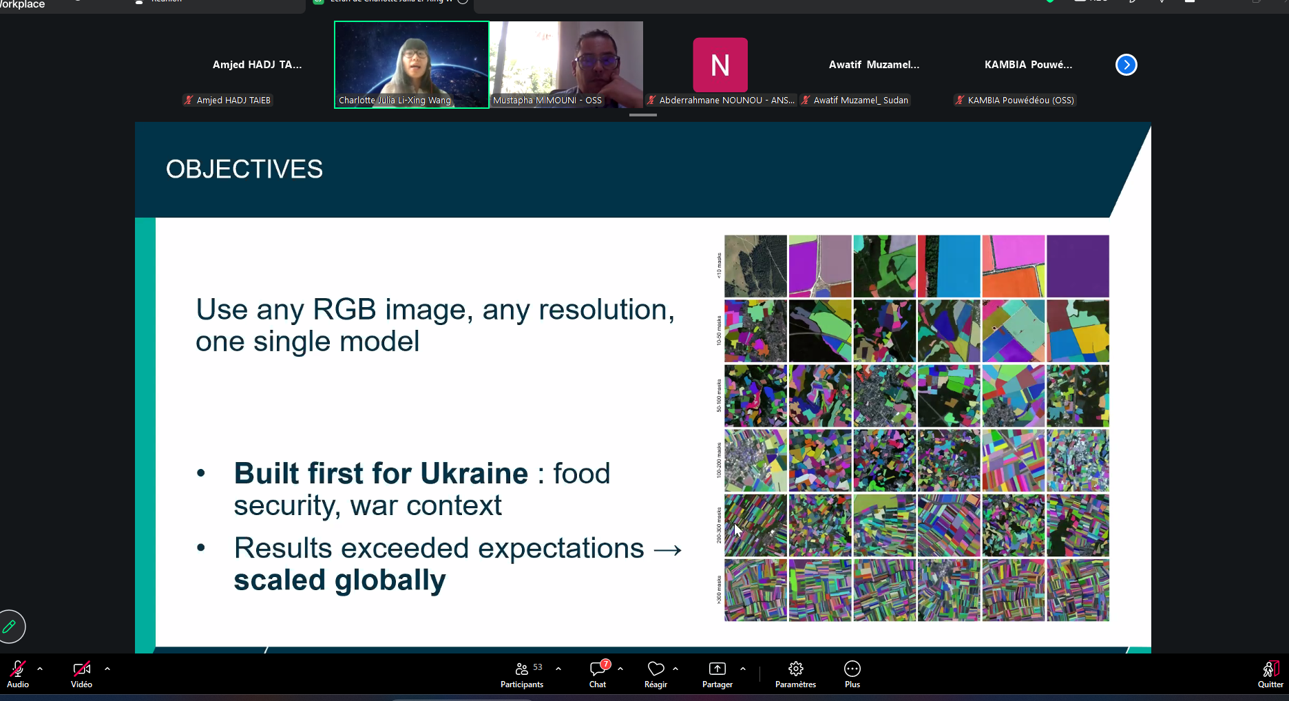
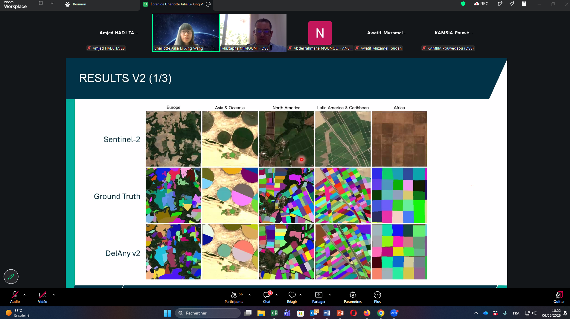
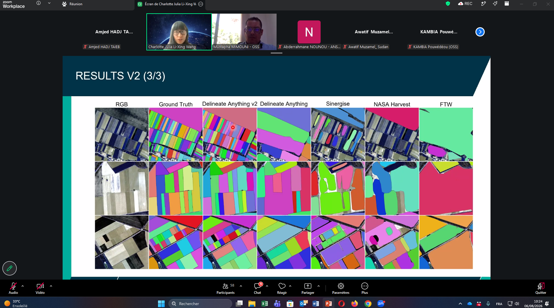
Developed by ESA, this approach combines artificial intelligence and satellite data to automate the identification and delineation of agricultural parcels. It offers the potential to produce accurate geospatial information more rapidly and in a way that better responds to agricultural monitoring and land management needs.
The webinar brought together agricultural monitoring professionals, specialists in statistics and spatial planning, researchers and Earth Observation experts. Participants were introduced to the model’s operating principles, architecture and the data required for its implementation, particularly data from the Copernicus Sentinel-1 and Sentinel-2 missions.
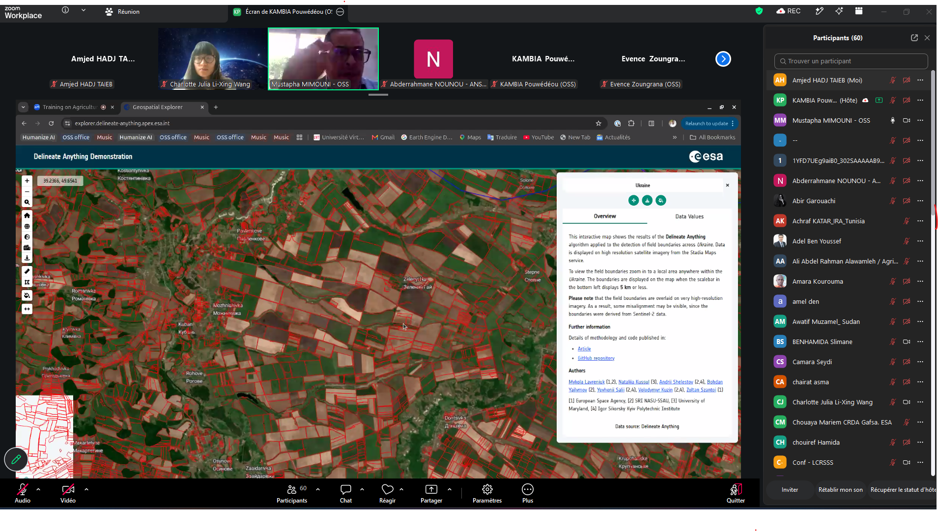
A live demonstration illustrated the automated generation of parcel boundary maps across different agricultural contexts in North Africa and the Sahel. The practical session also addressed methods for assessing the quality of the results, accuracy indicators and the main sources of error and uncertainty that may affect automated delineation.
Beyond the technical aspects of the tool, discussions focused on the conditions required for its integration into national agricultural monitoring systems. Particular attention was given to data access, the development of technical skills, the integration of the method into existing processing workflows and the institutional capacities needed for its operational deployment.
The discussions also helped identify capacity-building needs and opportunities for collaboration to support the sustainable uptake of these technologies by African institutions.
This approach illustrates the potential of solutions combining artificial intelligence and Earth Observation to complement conventional data collection methods and strengthen agricultural monitoring systems. By providing more detailed information on agricultural parcels and farming dynamics, these technologies can contribute to improved planning, agricultural statistics and land management.
Through this initiative, the OSS and ESA are contributing to the development of African expertise and the dissemination of innovative geospatial solutions for agriculture. Combining artificial intelligence with satellite data opens up new opportunities to improve knowledge of agricultural areas, support food security and promote the sustainable management of land and natural resources.
Held on January 28, 2025 in Tunis, the 27th session of the Strategic Orientation…
The participation of the Sahara and Sahel…
OSS Side Event at COP16: Strengthening Resilience in the Sahel through Multi-…