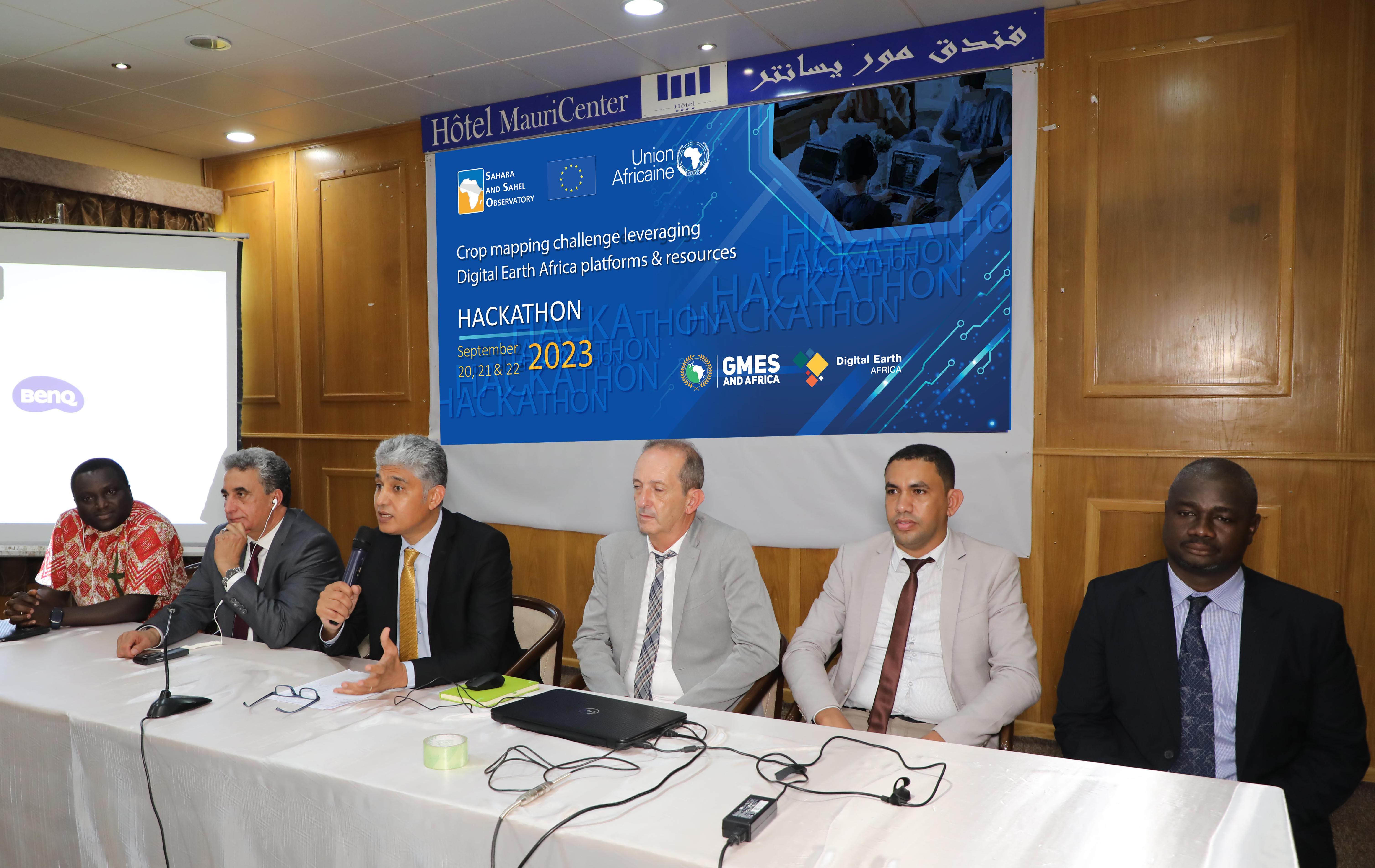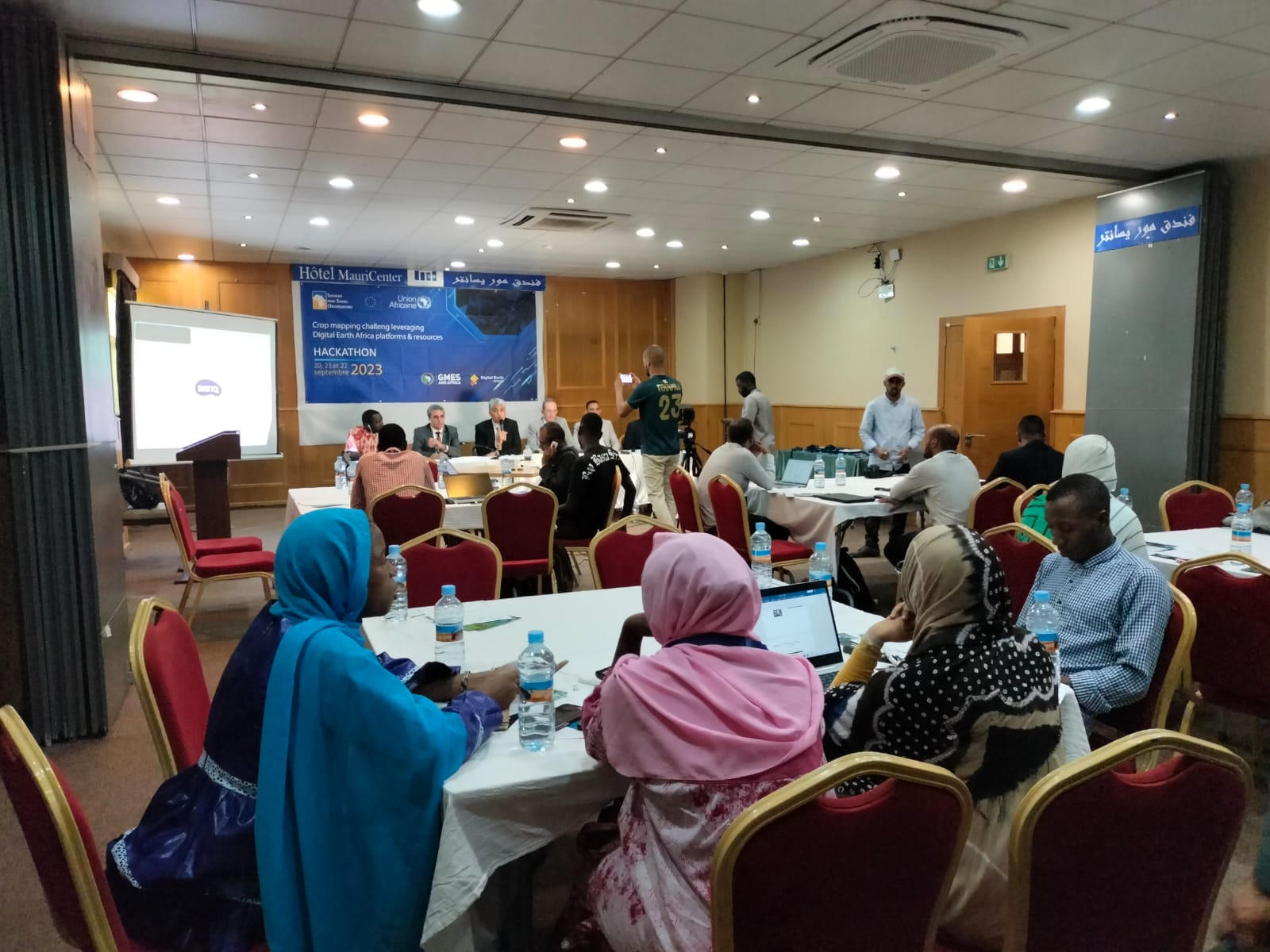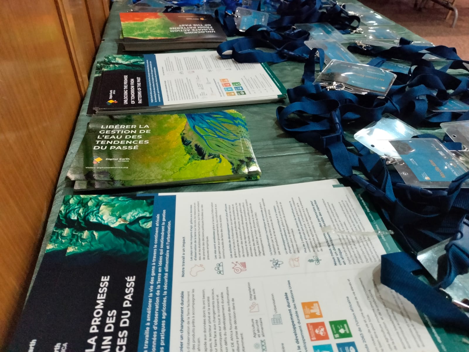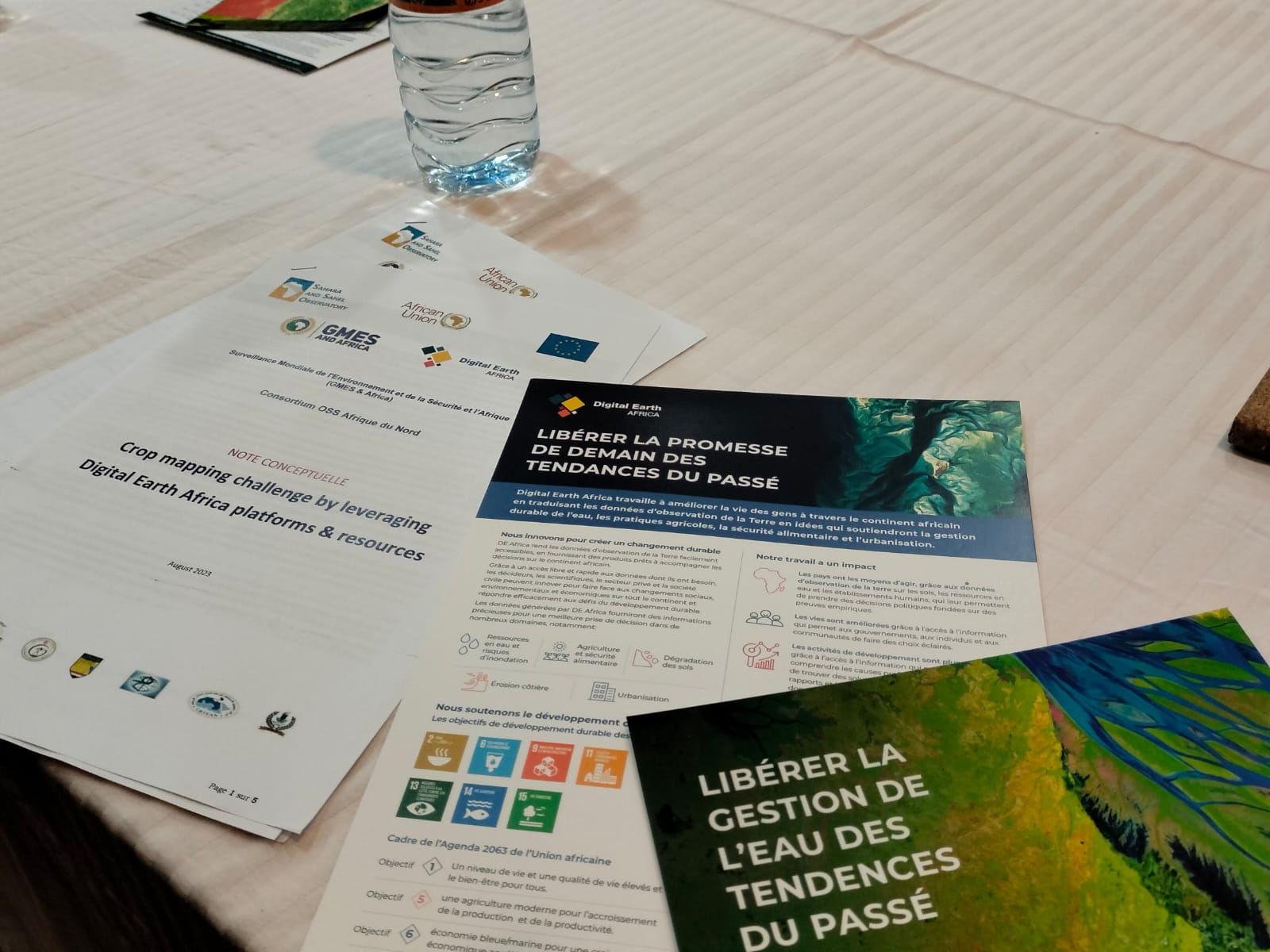


This hackathon is the outcome of a fruitful collaboration between GMES&Africa and Digital Earth Africa, with the CUCT support. A hundred students from different regions of Africa will compete under this event. They will have the possibility to use satellite imagery, Artificial Intelligence technologies and relevant in situ data, in order to come up with a consistent approach to detailed mapping of crop types.
The Hackathon will leverage Cloud Computing platforms and Digital Earth Africa resources. The competition was launched on September 20, 2023. The inauguration was marked by the speech of Mr. Nabil Ben Khatra, Executive Secretary of the Sahara and Sahel Observatory (OSS) who underlined the importance of space sciences and technologies in the decision-making process in order to help guarantee food security in North Africa.
At the end of the competition, participants will develop a standardized approach to generate detailed crop type maps, including related statistics, using EO data (namely Copernicus data) and Cloud Computing ones. Participants will be assisted by experienced mentors from the OSS North Africa Consortium of the GMES&Africa project and Digital Earth Africa. The event provides a learning environment and helps promote geospatial technology in Africa.