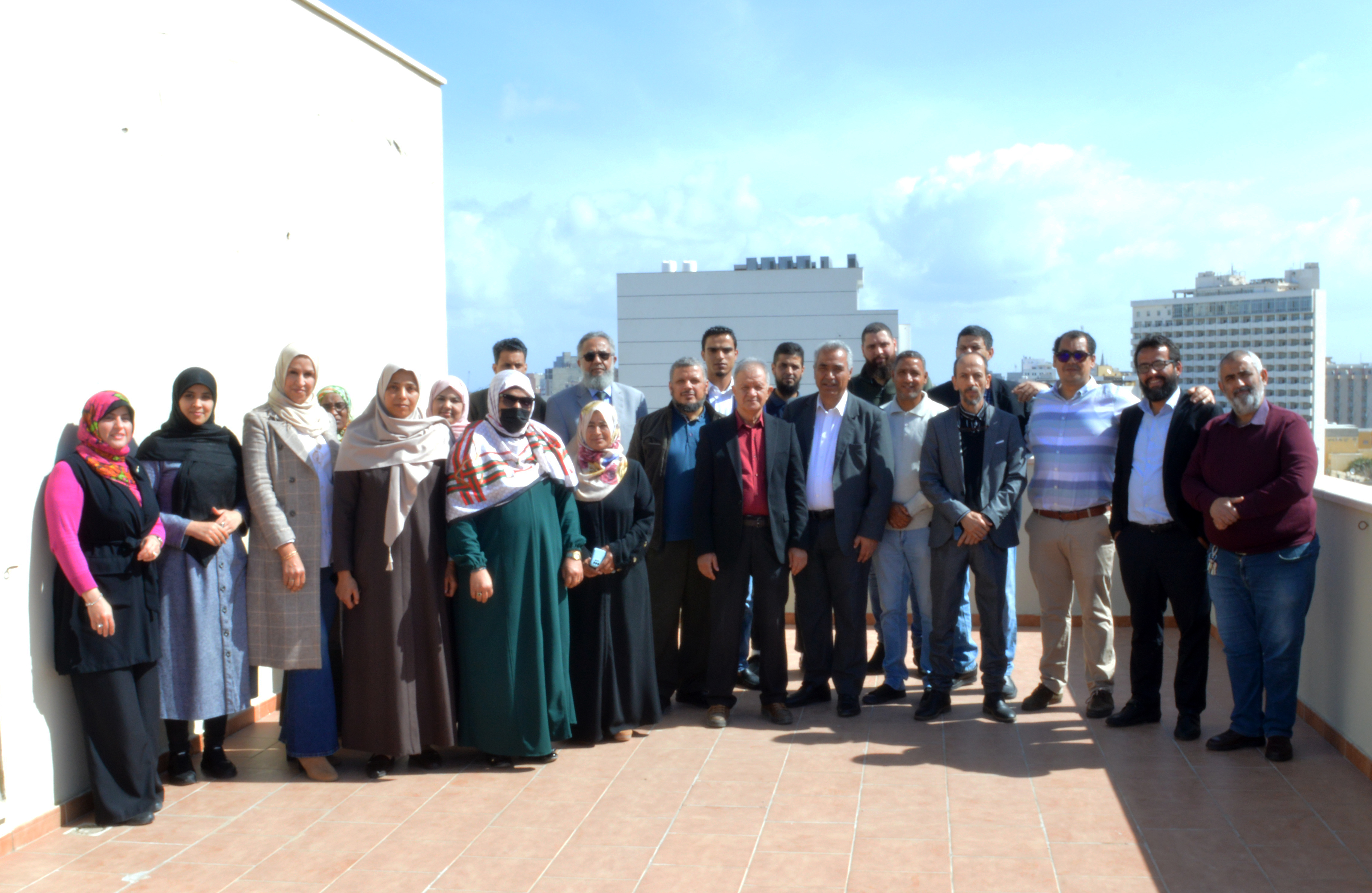
The North Western Sahara Aquifer System Consultation Mechanism (NWSAS-CM) in collaboration with the OSS Remote Sensing Unit, convened a national training workshop on the Geographic Information System and Remote Sensing applied to the NWSAS water resources monitoring and management, in Tripoli (Libya), from March 12 to 16, 2023.
The workshop took into account the Libyan partners’ requests with a view to reinforcing the skills of the water technical staff.
This training gave the opportunity to the participants from the Ministries of Water Resources, the Environment, Agriculture, the Agricultural Research Center and the University of Tripoli to acquire theoretical knowledge on GIS/RS and reinforce their hands-on skills on the use of satellite image and geographic information processing tools.
Besides, the participants had the chance to work on the MISBAR tool (www.misbar.oss-online.org) which is currently one of the most operational geospatial platforms in Africa, making it possible for the users to have the updated Copernicus EU satellite imagery database.
The MISBAR platform, developed as part of the first phase of the GMES&Africa project provides archives that help follow the agricultural land use progress and better understand the main drivers of impact on the food productivity.
In addition, the GIS and RS are a top tool for collecting, processing and analyzing geospatial data and generating seasonal maps on the state of water resources besides keeping a watch on agricultural campaigns.