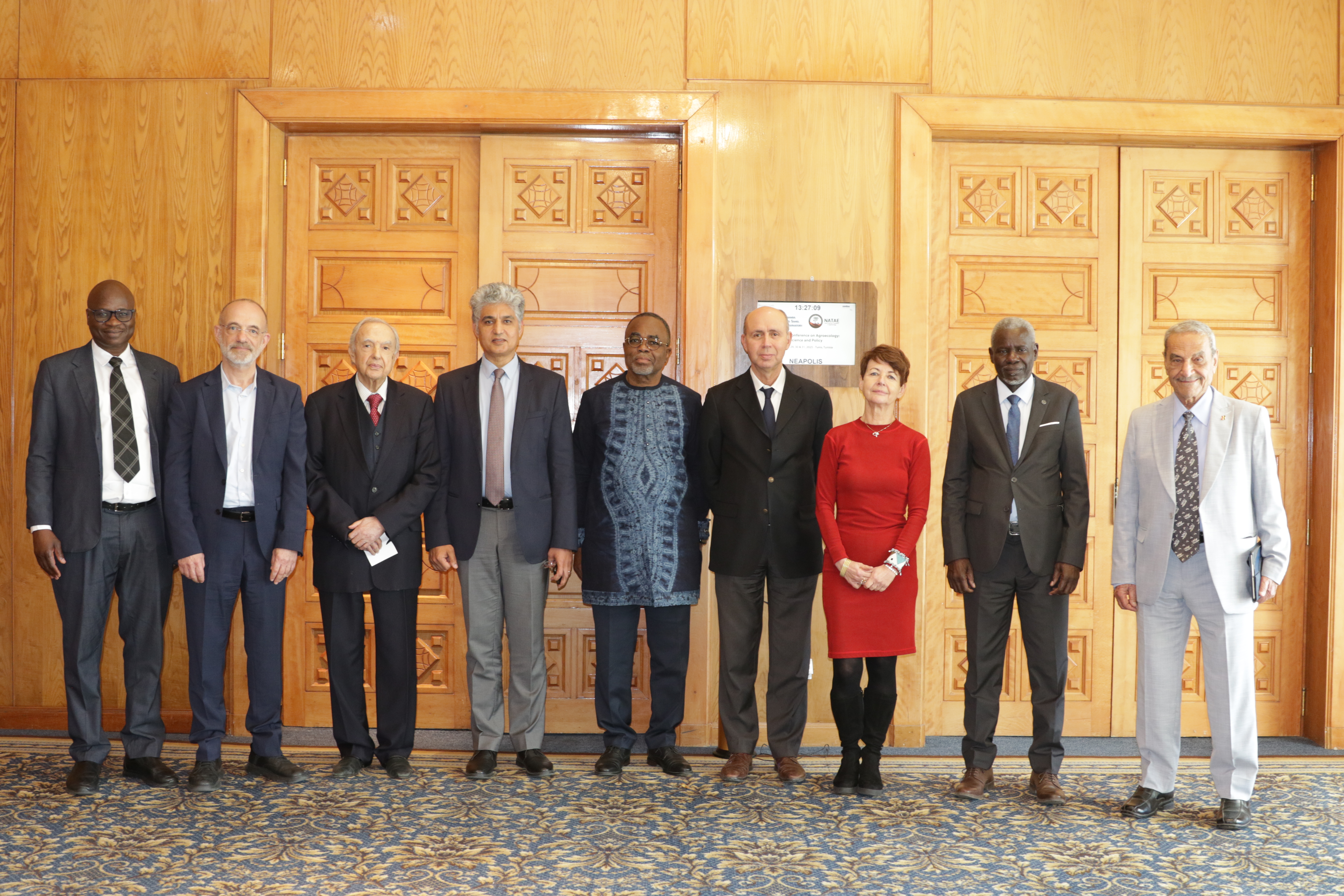
27th Session of the OSS Strategic Orientation Committee, Tunis, January 28, 2025
Held on January 28, 2025 in Tunis, the 27th session of the Strategic Orientation…
As part of the projects implemented in its area of intervention, the OSS develops interactive digital tools accessible on the internet that make it possible to share information and data consolidated by the OSS to facilitate the decision-making of the relevant stakeholders in their natural resources management. The tools currently available include:
Developed in accordance with the international standards, Geoportals are interactive platforms that help you query map databases bringing together different categories such as: thematic maps, spatial data, satellite imagery, reports and geo-referenced documents.
These tools help monitor and anticipate major climate risks such as droughts, floods, wildfires, and human-wildlife conflicts, with the goal of strengthening ecosystem and community resilience.
This platform brings together good practices for sustainable land management in the Sahel-Sahara area collected from the publications of institutions involved in the fight against land degradation.
Held on January 28, 2025 in Tunis, the 27th session of the Strategic Orientation…

The participation of the Sahara and Sahel…
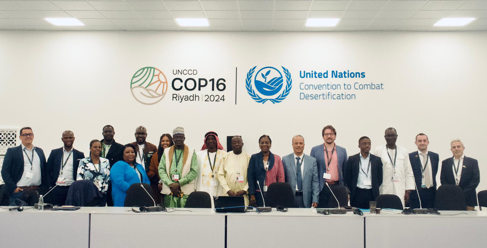
OSS Side Event at COP16: Strengthening Resilience in the Sahel through Multi-…