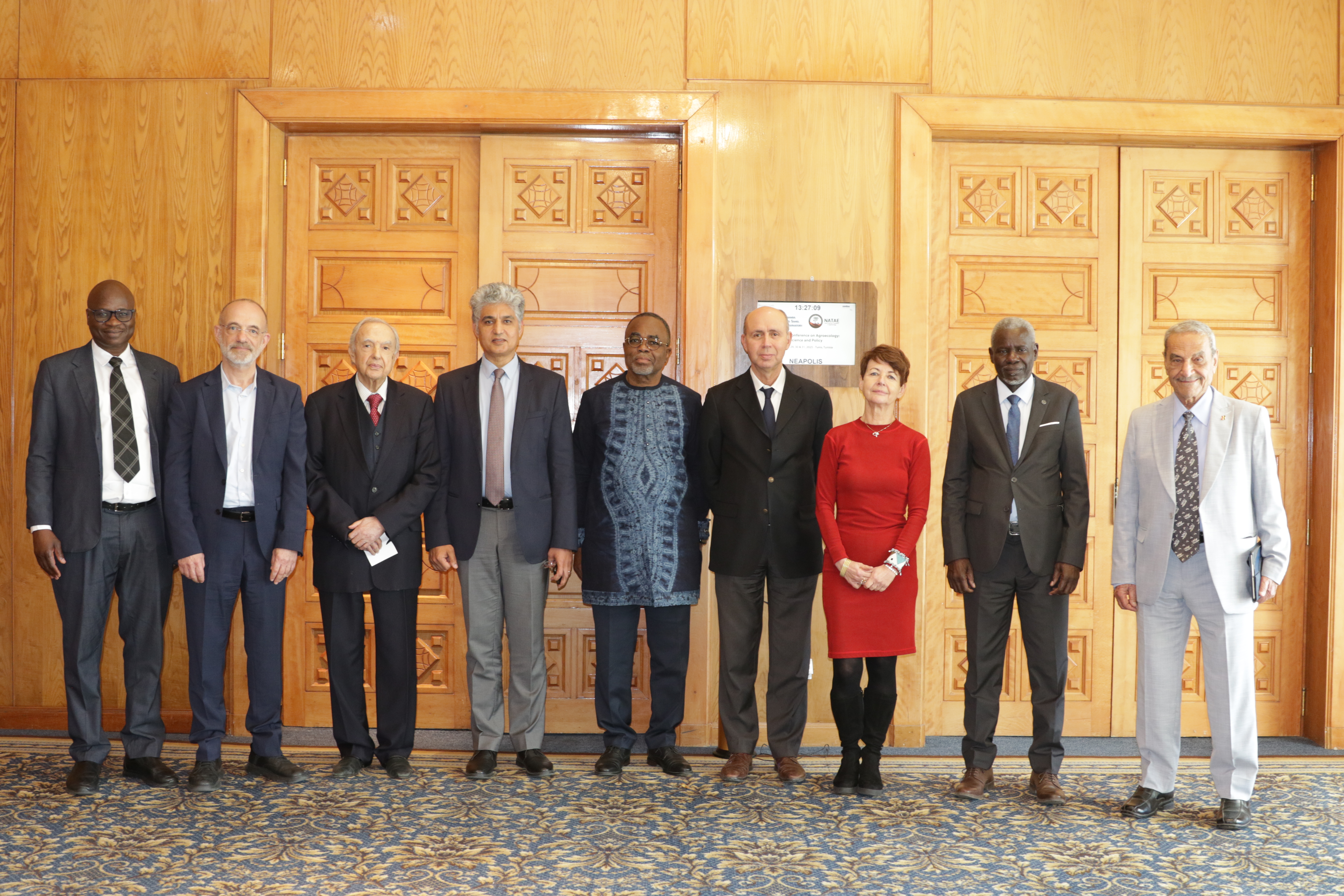
27th Session of the OSS Strategic Orientation Committee, Tunis, January 28, 2025
Held on January 28, 2025 in Tunis, the 27th session of the Strategic Orientation…
Ziniaré, July 14 -18, 2025
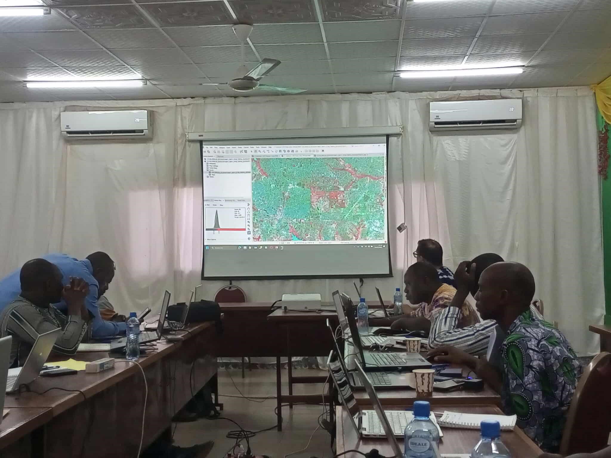
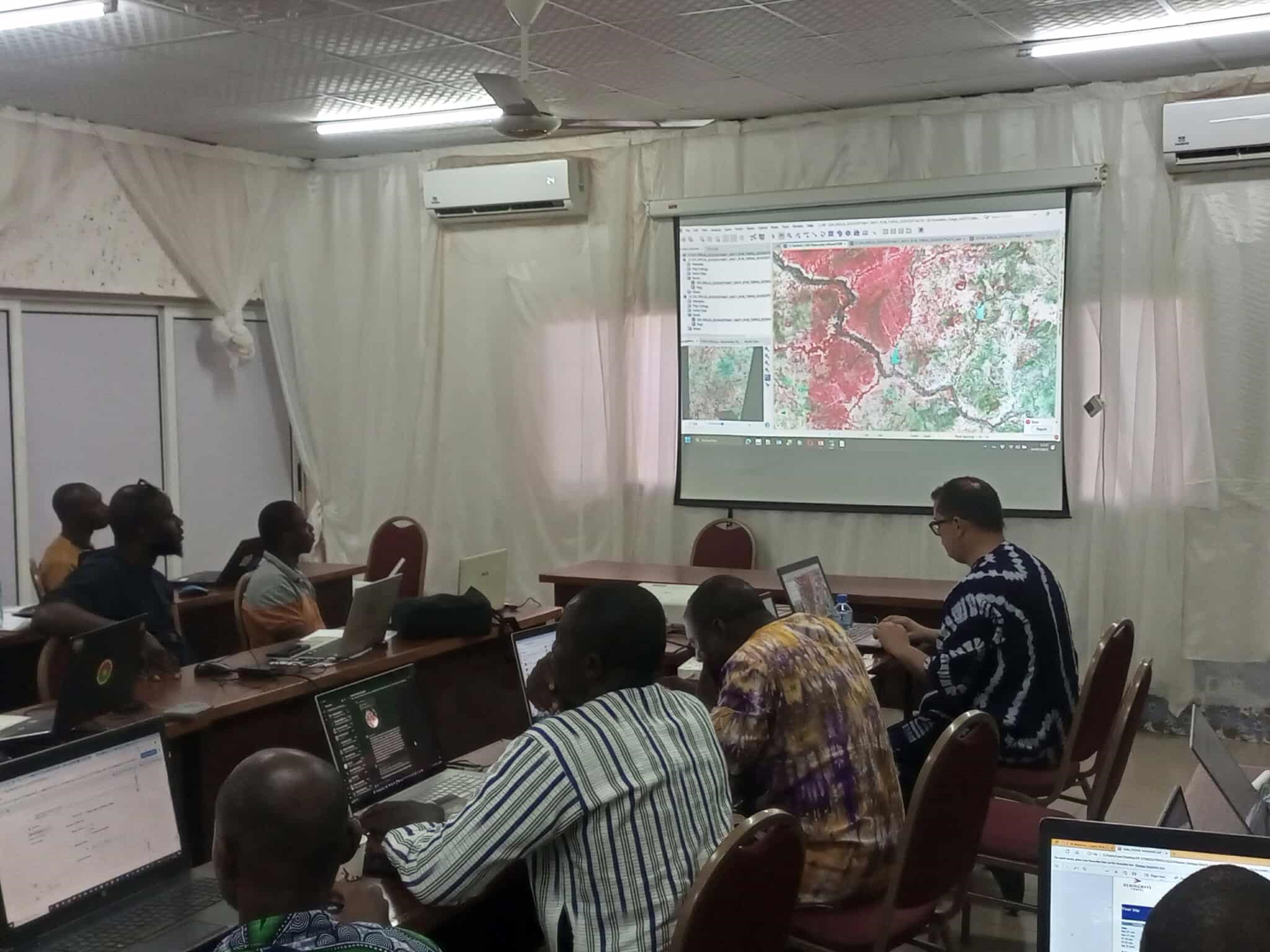
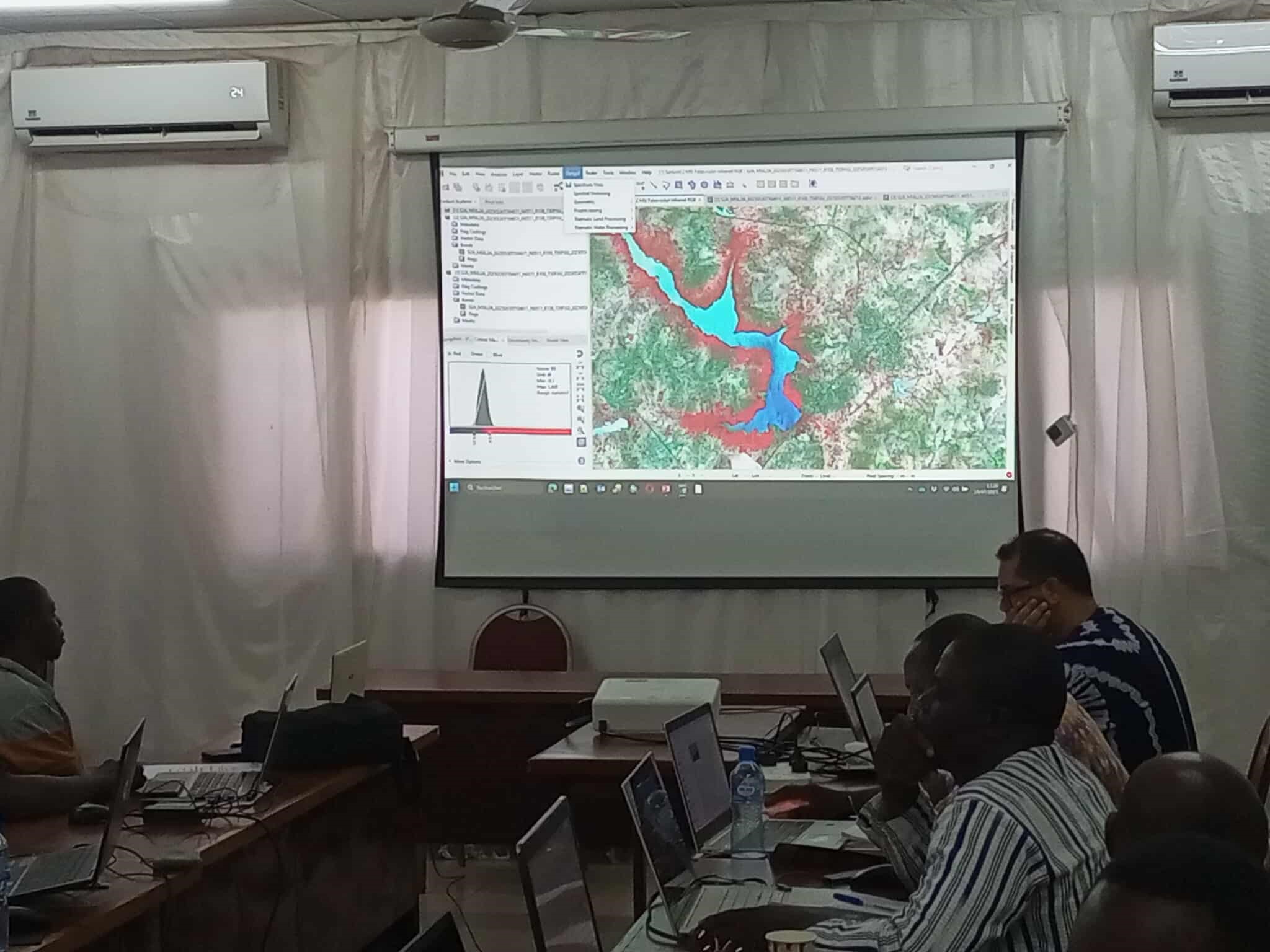
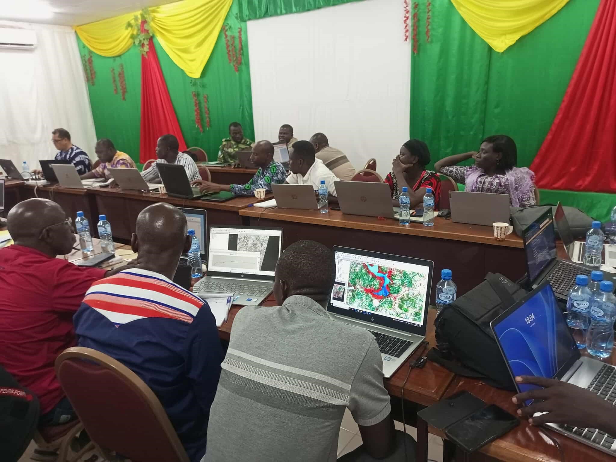
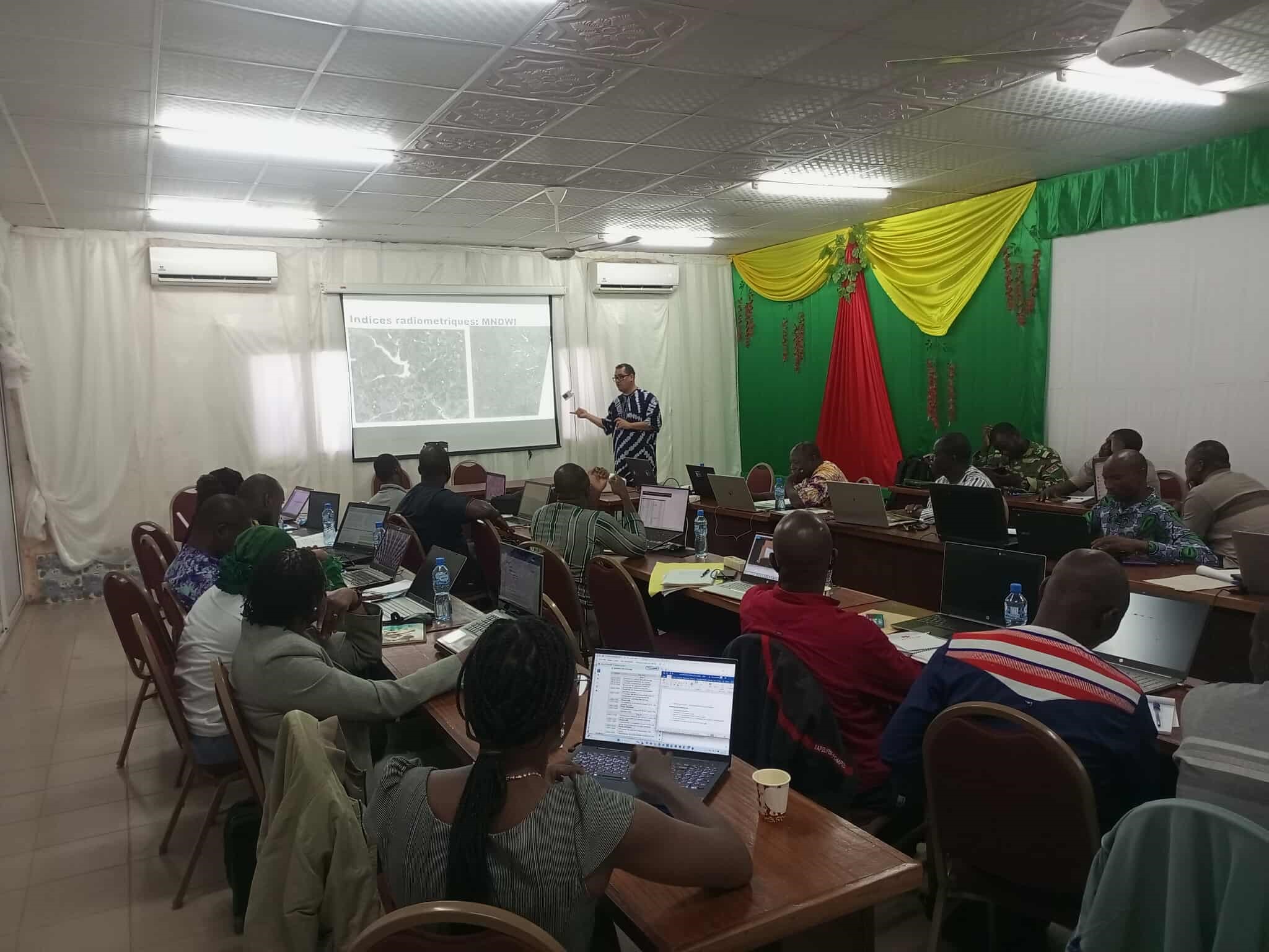
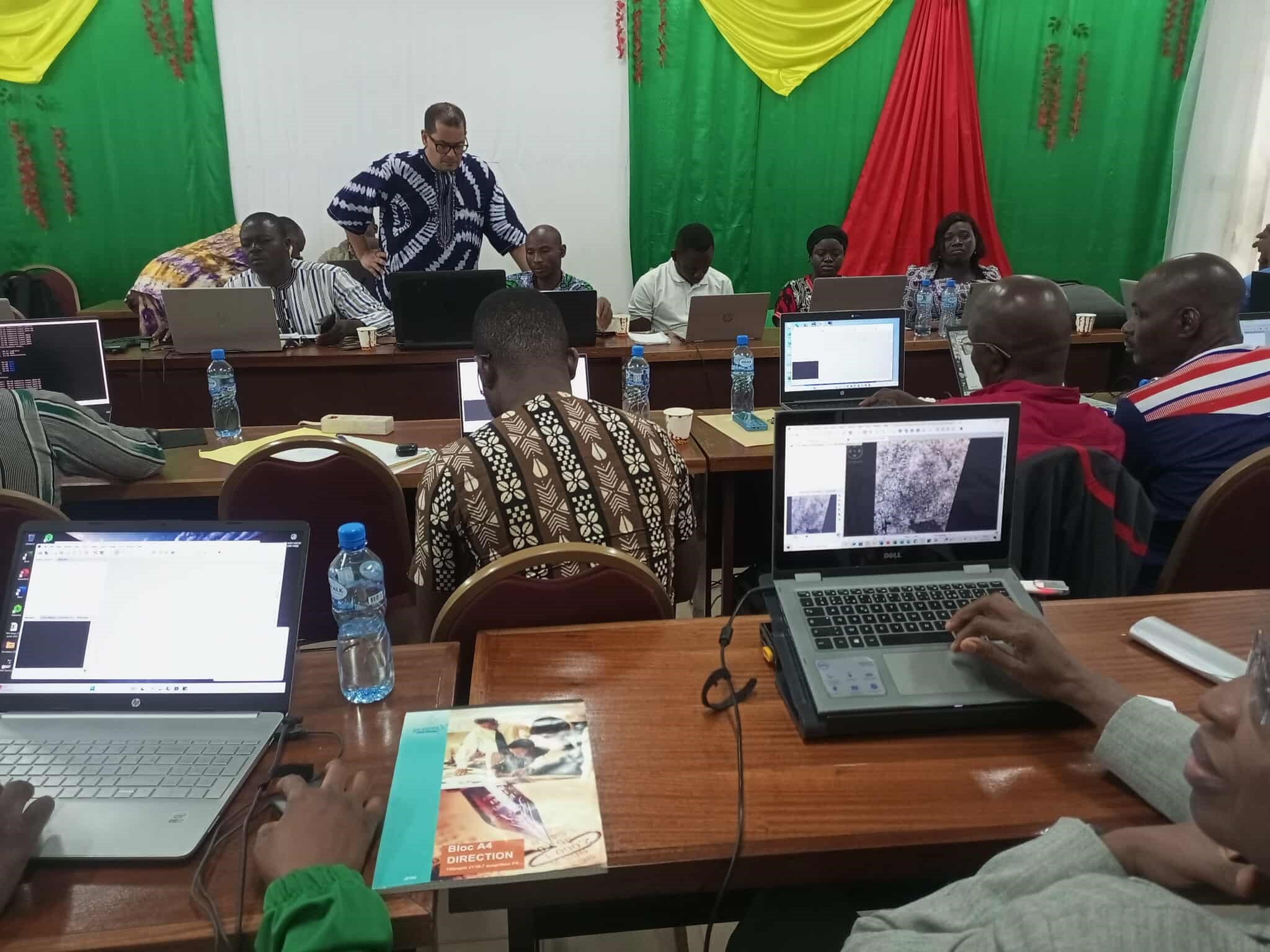
The Sahara and Sahel Observatory (OSS), in partnership with the National Observatory for Sustainable Development (ONDD), is holding a technical training session in Ziniaré (Burkina Faso). This initiative reflects the strategic collaboration between the two institutions as part of the AdaptWAP project activities.
The training aims to enhance national capacities in the use of Earth Observation technologies and satellite data to improve environmental monitoring and climate risk management.
Participants include representatives from key national institutions such as ONDD, OFINAP, DGEF, and IGMGV, alongside actors from academia and the private sector.
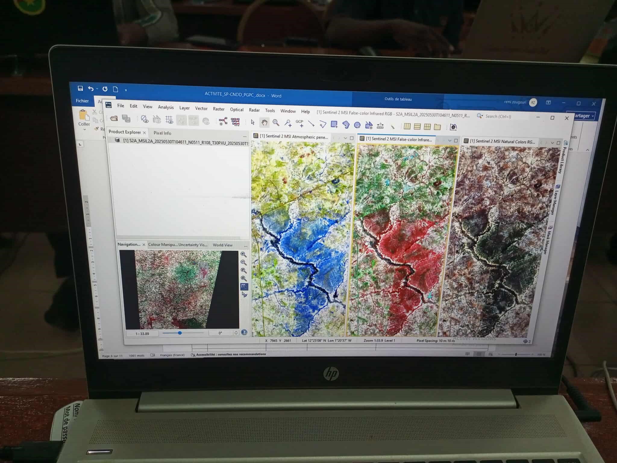
The program focuses on hands-on training in geospatial data processing, using open-source tools and cloud-based platforms like Google Earth Engine, with the goal of building a national pool of experts capable of producing reliable maps and geospatial information. These skills are essential for anticipating and responding to climate-related hazards such as droughts, floods, and bushfires.
Beyond capacity building, the training contributes to the production of map outputs tailored to national priorities and supports the integration of geospatial data into the National Environmental Information System (SNIE), strengthening decision-making and sustainable development planning processes in Burkina Faso.
Held on January 28, 2025 in Tunis, the 27th session of the Strategic Orientation…
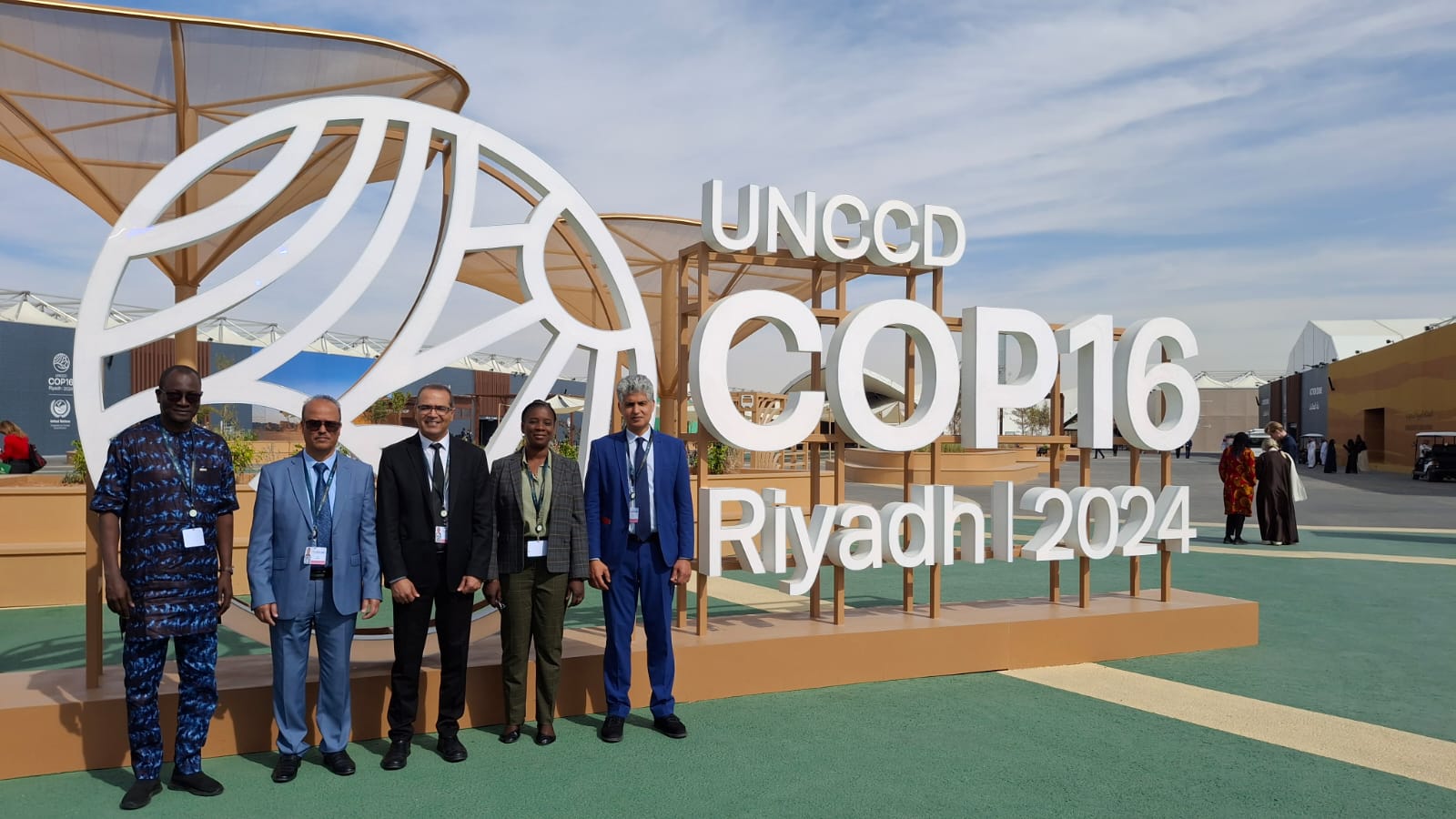
The participation of the Sahara and Sahel…
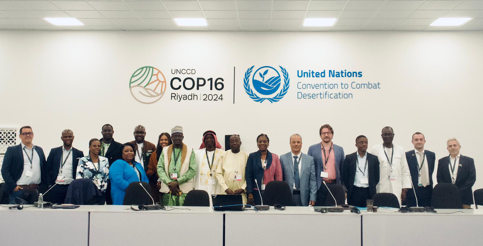
OSS Side Event at COP16: Strengthening Resilience in the Sahel through Multi-…