Building National Capacity for the Use of Digital Earth Africa Services in Burkina Faso
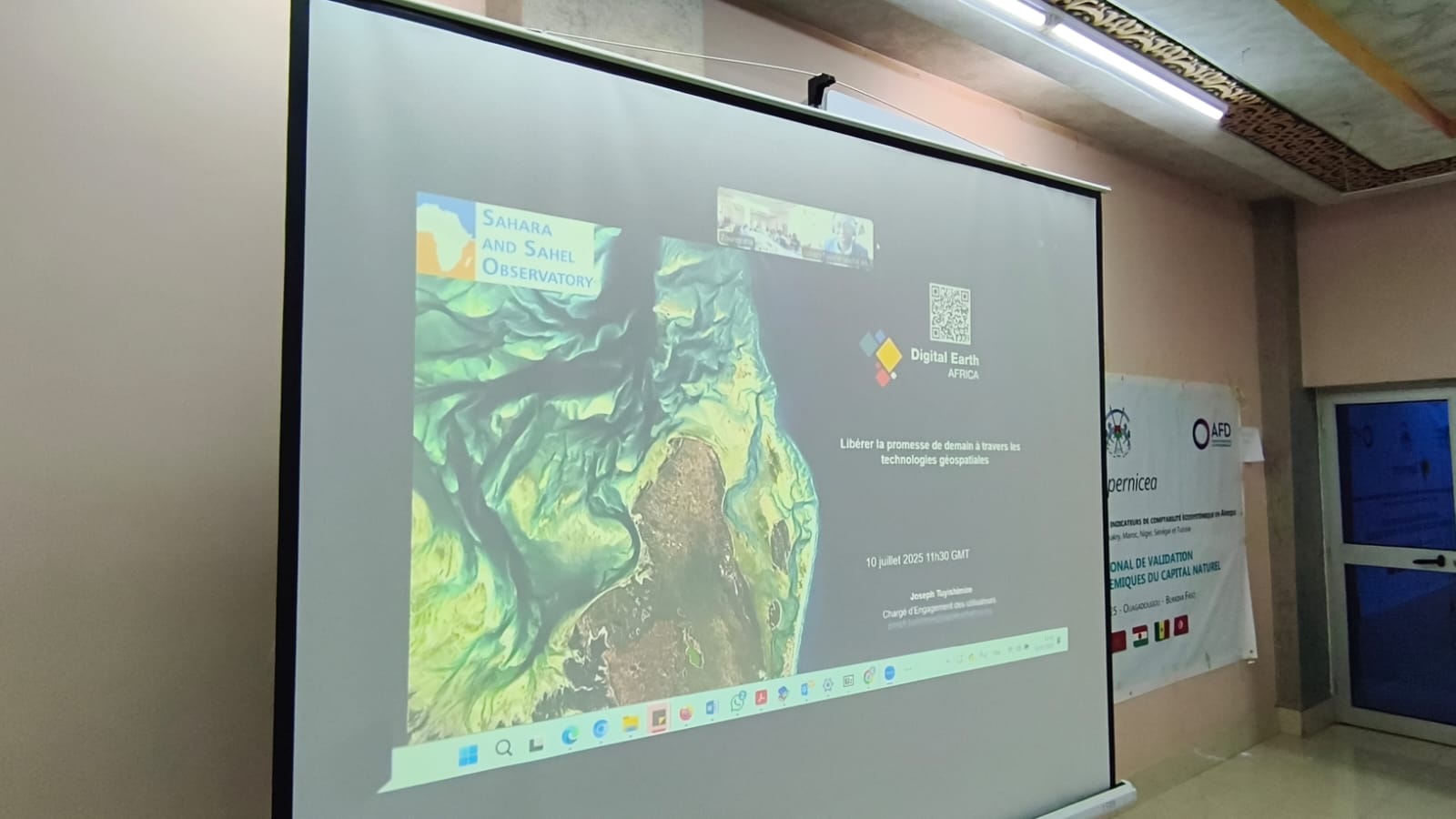
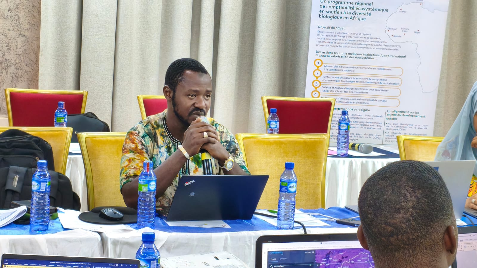
On July 10, 2025, a training session was held in Ouagadougou, co-organized by the Sahara and Sahel Observatory (OSS) and Digital Earth Africa, as part of a broader initiative to enhance national expertise in leveraging spatial data. This event reflects the OSS sustained efforts to build technical capacities and promote the effective use of geospatial information for sustainable development in its member countries.
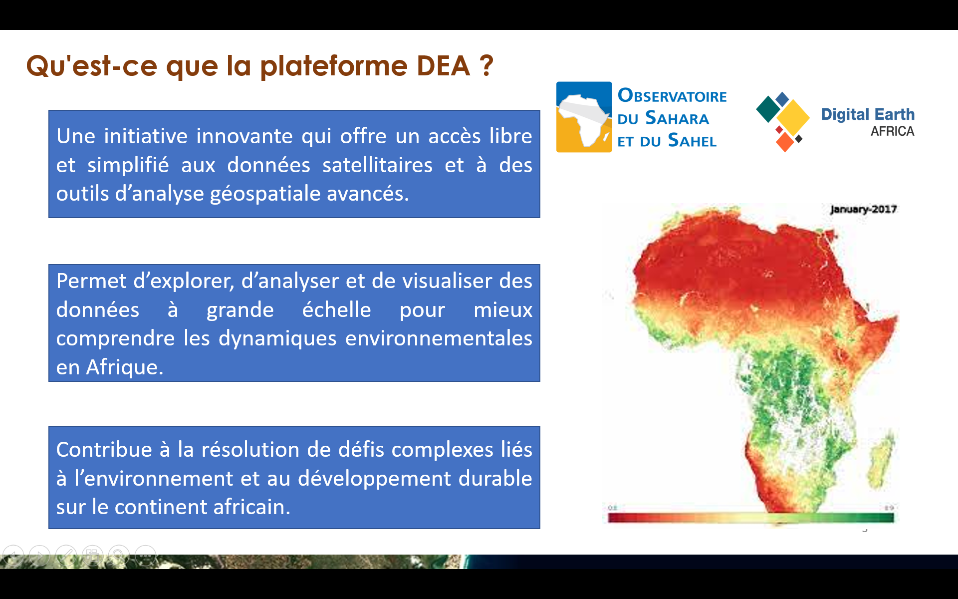
Representatives of Burkinabe institutions, decision-makers, and experts from sectors such as agriculture, integrated water resources management, forestry, meteorology, mapmaking, statistics, economics, and demography were introduced to the potential of Digital Earth Africa (DE Africa) services for generating geospatial data tailored to Burkina Faso’s priority areas—namely land degradation, forest cover monitoring, and land use change mapping.
International experts, including those from the United Nations Development Program (UNDP), also had deeper insight into how DE Africa tools can be used to monitor, analyze, and assess land use units over a six-year period.
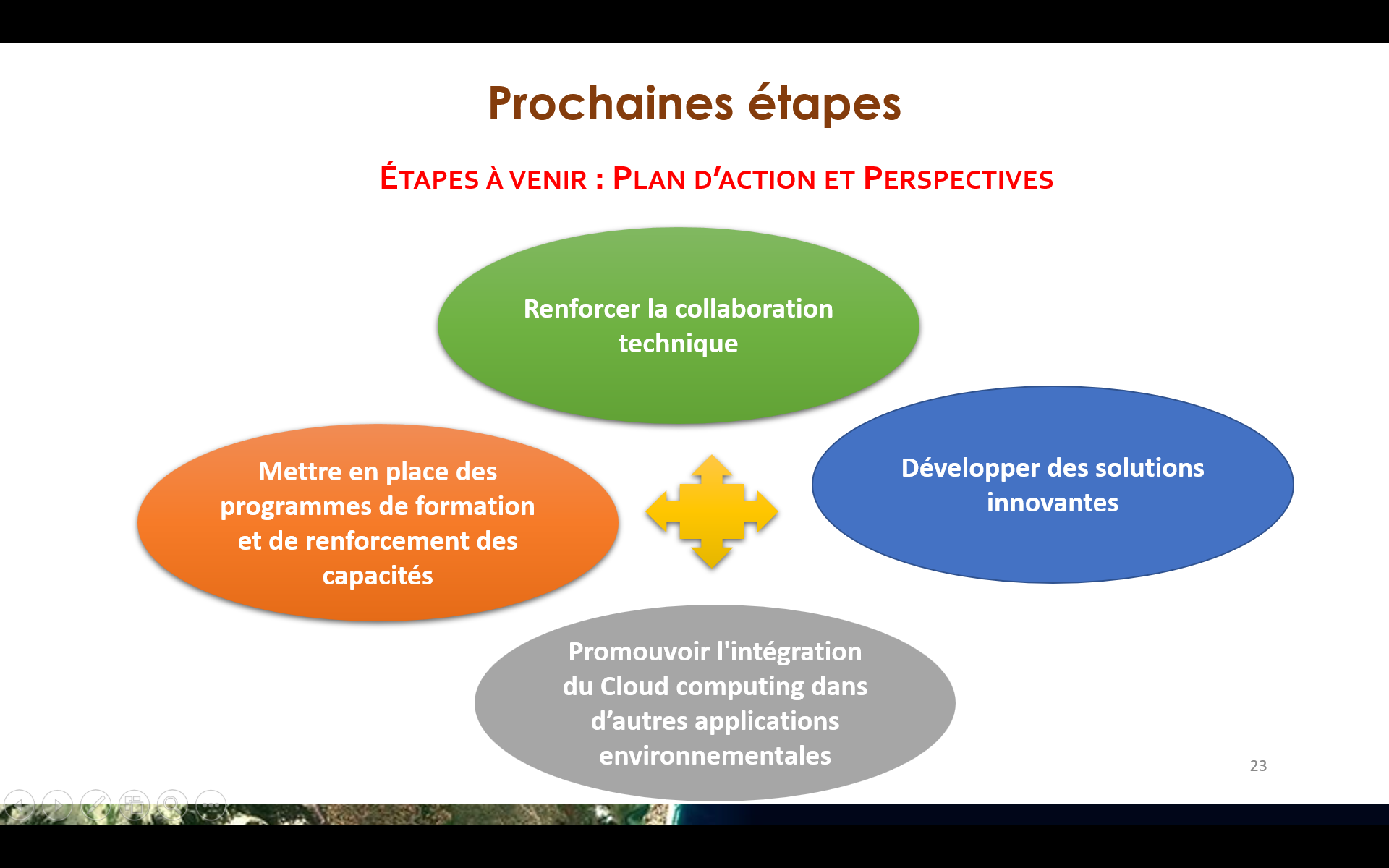
The session concluded with the development of a roadmap outlining future actions, including continued capacity building and the creation of concrete case studies to promote the long-term integration of Digital Earth Africa services in Burkina Faso and maximize their impact on natural resource management.
Throughout the training, participants actively engaged with the Sandbox platform, using it to generate data for monitoring land degradation, vegetation, agricultural zones, and water resources. They also exchanged experiences and insights with the OSS experts, fostering a collaborative learning environment.